
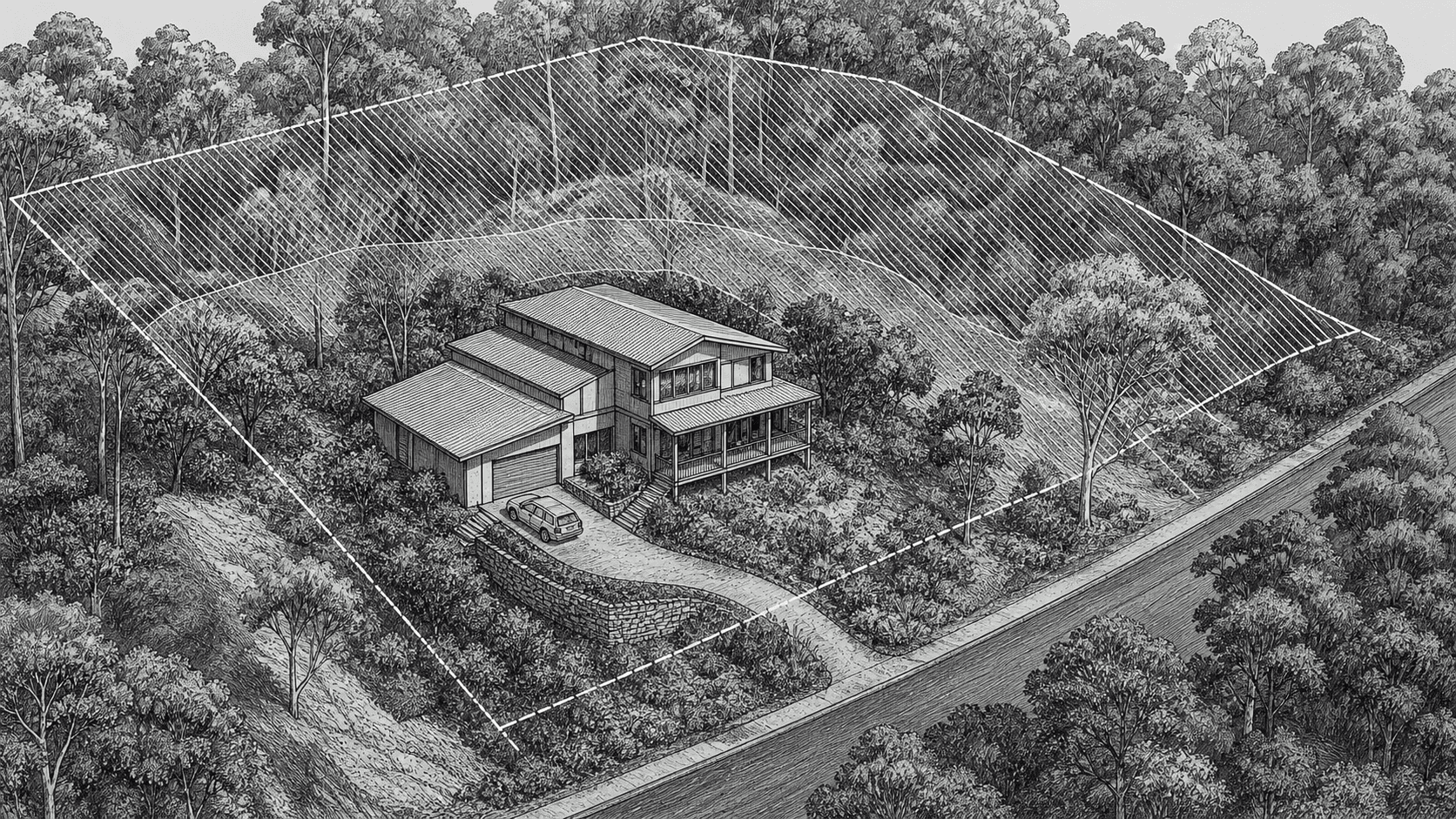
Bushland is part of the appeal of the Upper North Shore. It also creates a property-specific risk that cannot be settled at suburb level.
Start with the map, then keep going
Council bushfire-prone land maps and the NSW Planning Portal can identify mapped exposure. The contract and planning certificate provide property-level information.
An online overlay is a prompt for investigation. It is not a building assessment, insurance quote or conclusion that the property should or should not be bought.
Understand what changes
Mapped exposure may affect:
- the standards applying to new work
- materials, glazing and construction cost
- vegetation management
- access and emergency planning
- insurance availability or price
- the pool of future buyers
The practical effect depends on the site, building and proposed work.
Inspect access and topography
Road width, turning, slope, vegetation and the relationship between the house and bushland matter. A large block with difficult access may create a different risk and maintenance profile from a more accessible property with the same broad mapping category.
Check insurance before exchange
Obtain an insurance indication for the actual address. Do not assume the previous owner's premium or a suburb-level estimate will apply.
If renovation is part of the brief, obtain planning and building advice on the intended work before paying for that potential.
Keep the decision proportionate
Bushfire exposure is one part of the property assessment. It should be understood and priced alongside land, light, layout, transport, school access and resale demand.
Useful official starting points:
The property due-diligence checklist shows where this check sits in the broader process.
Mapping, building standards and insurance terms can change. Check the current parcel mapping, contract and proposed work with the relevant qualified advisers before exchange.